|
|
El Fuerte |
| Home Page | About Us | City Description | Hotels | Villa, B& B's | Restaurants | Golf + Activities | Sightseeing | Destination Services | RV/Trailer Parks & Hostels | Travel Value Packages | Airlines | Other Cities in Mexico | What's New | General Info | State Map | Regional Map | Country Map | Blog |
| Nearby Cities -> | Batopilas | Cerocahui | Chihuahua | Creel | Divisadero Barrancas Bocoyna | Los Mochis | |
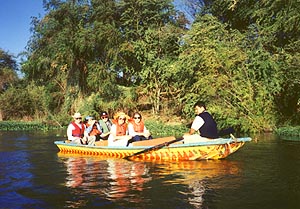
| Some eighty kilometers east of Los Mochis, El Fuerte is the first or last stop (depending on travel direction) on the Chihuahua-Pacifico railroad which traverses the Copper Canyon. The town is very much in its primitive state with dirt streets with most of the activity centered around the Posada Hidalgo hotel. |
|
|
External links:
|
| Home Page | About Us | City Description | Hotels | Villa, B& B's | Restaurants | Golf + Activities | Sightseeing | Destination Services | RV/Trailer Parks & Hostels | Travel Value Packages | Airlines | Other Cities in Mexico | What's New | General Info | State Map | Regional Map | Country Map | Blog |
|
Based on information contained in the Mexico Travel Database on January 25, 2012 |
| Powered by DataPerfect |